
One thing visitors love about coming to Cades Cove is that you can admire all the beauty of the area from the comfort of your own vehicle. If you love the popular 11-mile Cades Cove Scenic Loop, but are looking for an alternative way out, there is another route we think you should explore! Read on to learn more about driving on Rich Mountain Road in the Smoky Mountains:
How to Get There
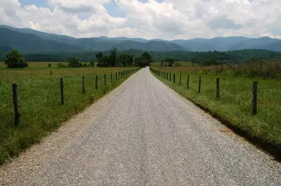
Rich Mountain Road is a scenic drive that branches off from the Cades Cove Loop Road. Directions to Cades Cove Loop Road from Gatlinburg are as follows: take the US-441 S/Parkway to Little River Gorge Road. You will then turn onto Laurel Creek Road and drive until you reach Cades Cove Loop Road. Continue about halfway through the Cades Cove Loop until you reach the Rich Mountain Road entrance across from Missionary Baptist Church. This gravel one-way road runs for 7 miles and ends in Townsend, TN; expect the whole drive to take about 1 hour to complete.
What to See
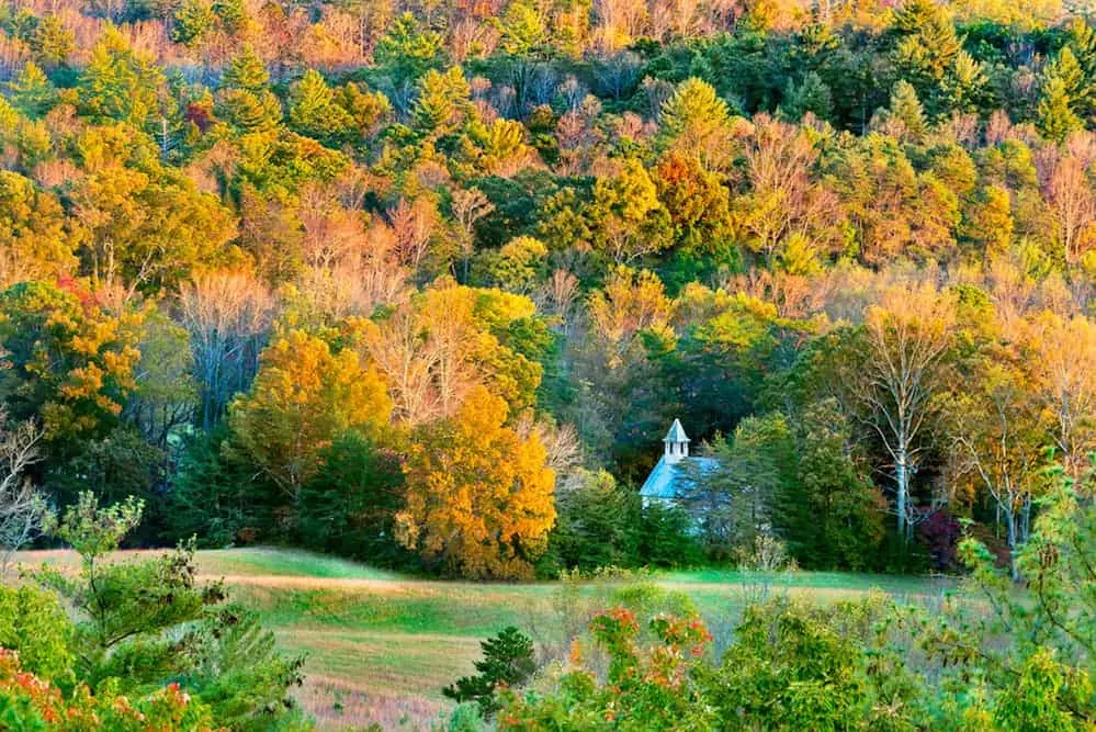
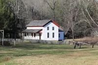
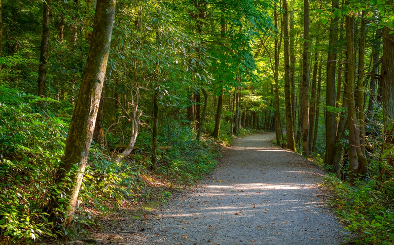
Rich Mountain Loop Road is known for being a quiet drive through a forest. The area has creeks and streams that are teeming with fish and salamanders. As for wildlife on land, you may be able to spot a black bear or deer on the ride. Another highlight is the scenic overlook. It provides a great view of the Primitive Baptist Church. This is another church in the area that was built in 1825. It was the first church in the area, and it gave settlers a permanent place to hold Sunday Service. The overlook is a great place to get out and enjoy the fresh air if it’s a nice day. You may even want to bring a picnic lunch. Put together a homemade meal or get takeout from your favorite restaurants. Make sure to bring a camera so that you can take a memorable picture of your travel group in front of the stunning views.
Things to Know
One thing to know about driving on the Rich Mountain Road is that it is open seasonally from April to mid-November. Additionally, the route may also close unexpectedly in the warmer months after heavy rains. The water may cause the creeks and streams to overflow, which makes the road harder to navigate. No matter what time of year it is, visitors can always stay up-to-date on road closures in Cades Cove and the rest of the park by checking the Smokies Road Info Page (@SmokiesRoadsNPS). Check the weather before you head to the park and have a backup plan in place if needed. Also, some vehicles are restricted on Rich Mountain Road, such as motorhomes, buses, vans longer than 25 feet, and passenger vehicles towing trailers, due to the narrow and winding nature of the road.
Now you know all about driving on Rich Mountain Road in the Smoky Mountains! Take a look at our free Cades Cove maps to find this scenic route as well as other places to explore!